Towning around in Macetown Historic Area
Writer Jacqui Gibson hitches a ride to Macetown Historic Area

The white picket fence in the distance marks out a small Catholic cemetery believed to contain two graves, dating back to the mid 1800s. Macetown History Area, Central Otago (image by Jacqui Gibson).
On the satellite map, the deep creases of barren, brown land look like crumpled paper.
But somewhere amid the folds are the remnants of Macetown, one of the most intact of New Zealand’s historic goldfields.
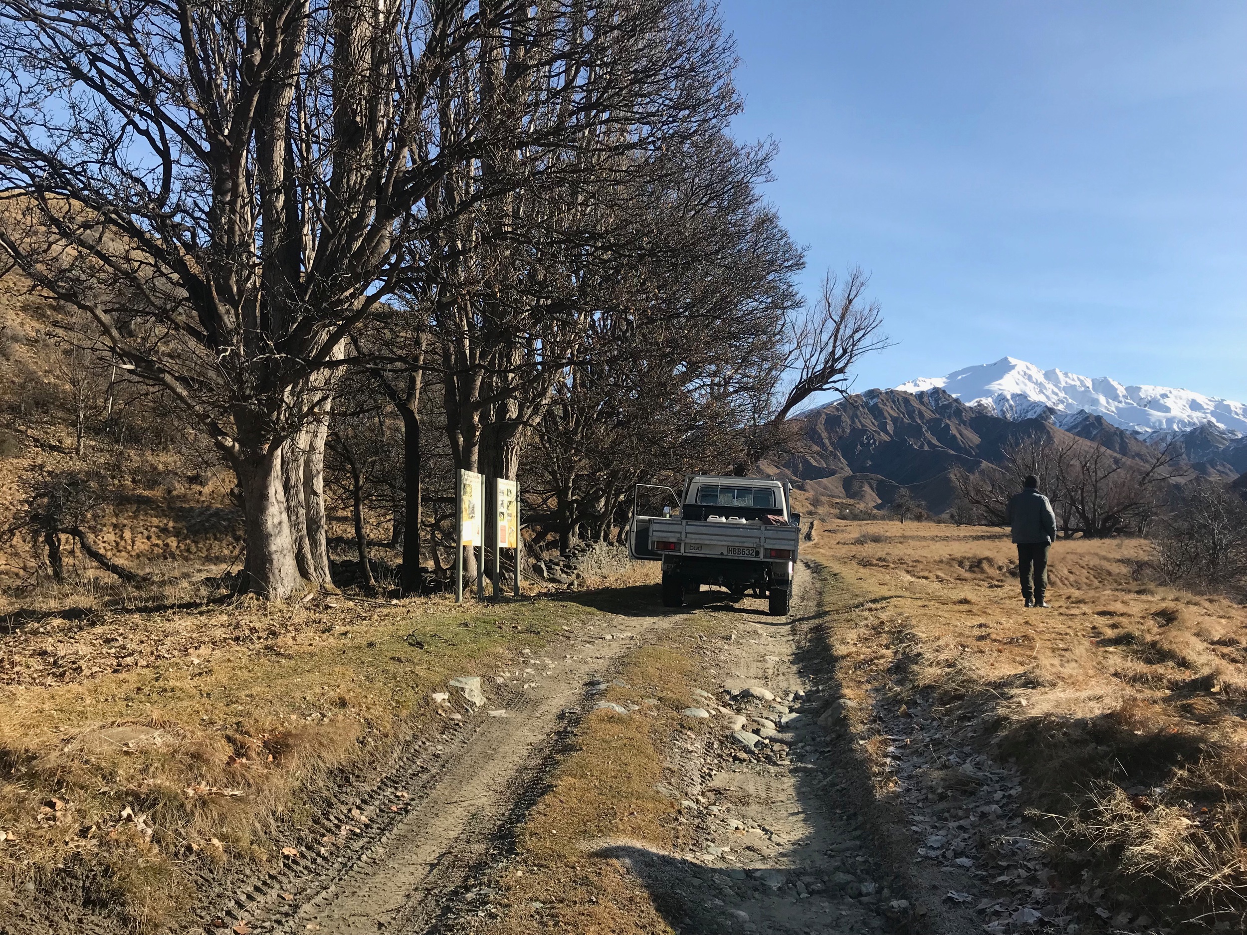
It’s Saturday. Jim Croawell and Stew Hardie, both DOC conservation service rangers (Stew retired in 2011), make room for me in the single cabin of Jim’s landcruiser.
They’re rugged up. Beanies on. Thermoses warm. There’s a sun-faded book featuring a drawn map of historic Macetown on the dashboard. (For my reference, says Jim).
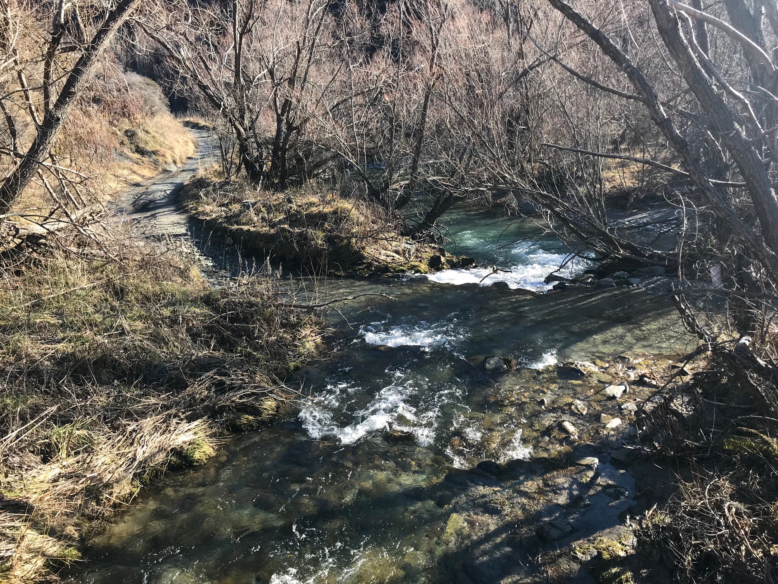
“Weather forecast looks good,” he says, pulling out of the carpark towards the Arrow River. “The water level’s down, so it shouldn’t be a problem fording the river today.”
Our plan is to take the 15-kilometre dirt track up the narrow river gorge, crossing the river approximately 23 times, to the settlement of Macetown.
I want to see it up close and check out their handiwork.
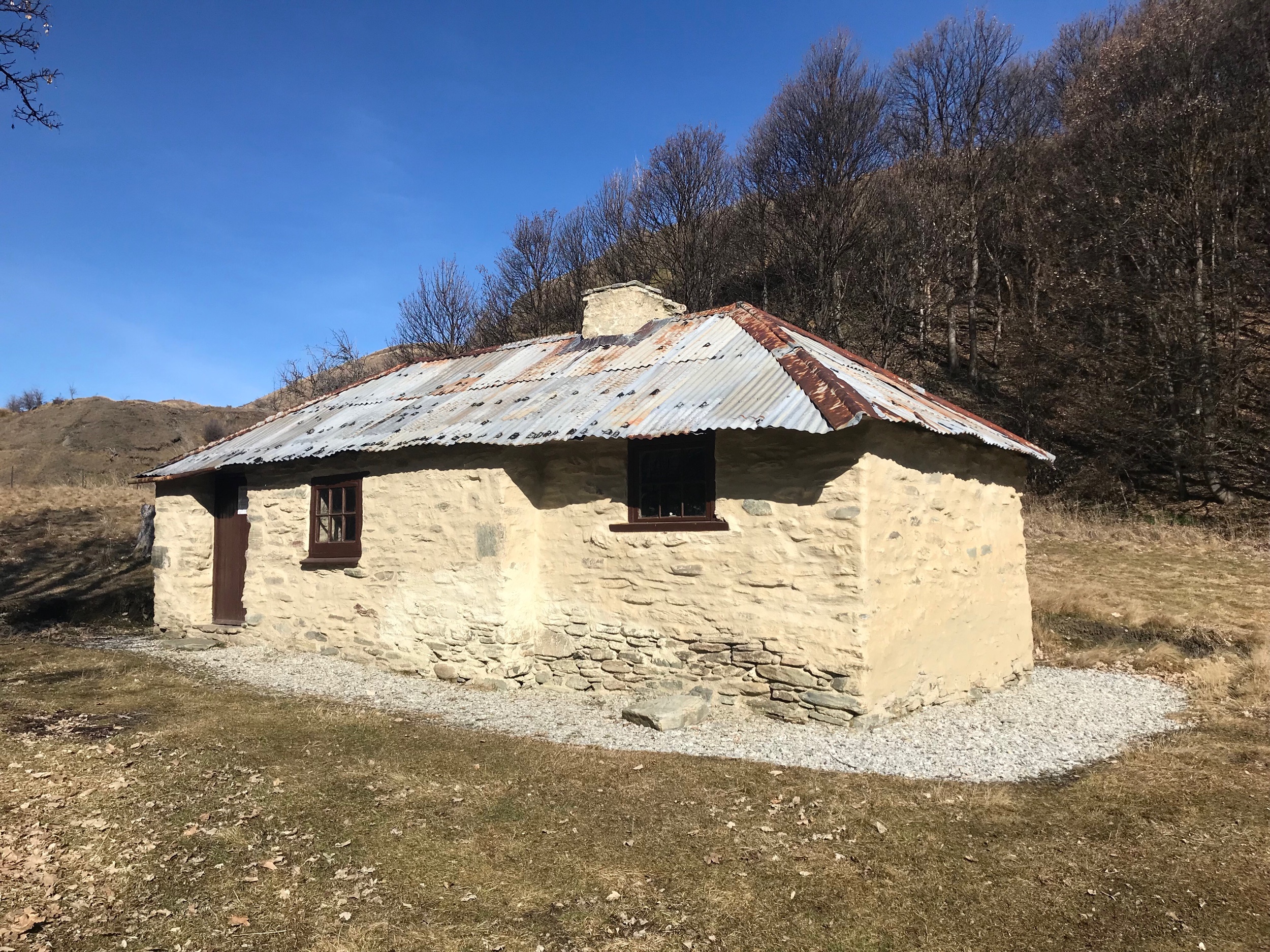
In 2005, under Stew’s management, DOC conservation service carpenters Dave Murfin and Barry Huddart carried out a major restoration project of Macetown’s main historic structures.

Remnants from New Zealand’s highest-elevation goldmine in Macetown, Central Otago (image by Jacqui Gibson).
Relics such as a bakehouse, the schoolmaster’s cottage and a gold processing plant called Anderson’s Battery received much-needed skill and attention from the craftsmen.
Meticulously, they plastered walls, laid floors, fixed roofs and rebuilt interiors. Stew built a white picket fence to mark out a small Catholic cemetery believed to contain two graves.
Two busy summers later, the work was done and unveiled in a March 2008 ceremony led by the then Prime Minister Helen Clark.
These days, it’s largely up to Jim to maintain the heritage area for the 7,500 tourists who venture up the river every year to hike, bike and camp within it.
These days, it’s largely up to Jim to maintain the heritage area for the 7,500 tourists who venture up the river every year to hike, bike and camp within it
But tourism is a far cry from the site’s original purpose. Heather Bauchop, Dunedin historian and Heritage New Zealand Macetown Historic Area report author, says Macetown boomed briefly with alluvial gold mining in the 1860s, then again in the 1870s with quartz reef mining.
At its height, she says, Macetown had a population of 300, a handful of residential housing, a local store, bakery, Catholic church, post office, school house, hotel and pubic hall.
But mining was fickle. In the 1930s, following a short period of state-sponsored mining during the Depression, the township took its final gasp.
Heather says the difficult access to the site was the primary problem. It spiked costs and limited the use of machinery (a road wasn’t built until 1884).
However, the harsh winters, occasional flooding, general mismanagement - and the porkies people told of the claims’ inflated worth - probably didn’t help either.
Back in the early days, however, the future looked much brighter.
In 1862, Arrowtown struck gold.
Within months, nearby Macetown became the backcountry destination that promised to reward anyone with a shovel, pan and cradle and a hankering to make a fortune.
“It’s quiet today,” says Jim as we approach the Macetown entrance and climb out for a breather.
“But just imagine what it would’ve been like with the sounds and smells of hundreds of miners camped in canvas tents along the river.”
Today, the 155-year-old heritage area – newly listed by Heritage New Zealand in July – is signposted by two information signs, a metres-long stone wall and a line of exotic sycamore trees, planted by the early miners.
All told, the heritage area features the historic reserve and township and a range of mining remains, including battery sites, huts, water races, tramway parts, mullock (waste rock) heaps, stone walls and New Zealand’s highest-elevation goldmine, the Sunrise, positioned nearly 1.6 kilometres above sea level.
Measuring roughly five kilometres by a 1.5 kilometres, the area now has legal protection from the covenants belonging to four private high country stations with which it shares land: the Motatapu, Mount Soho, Glencoe and Coronet Peak stations.
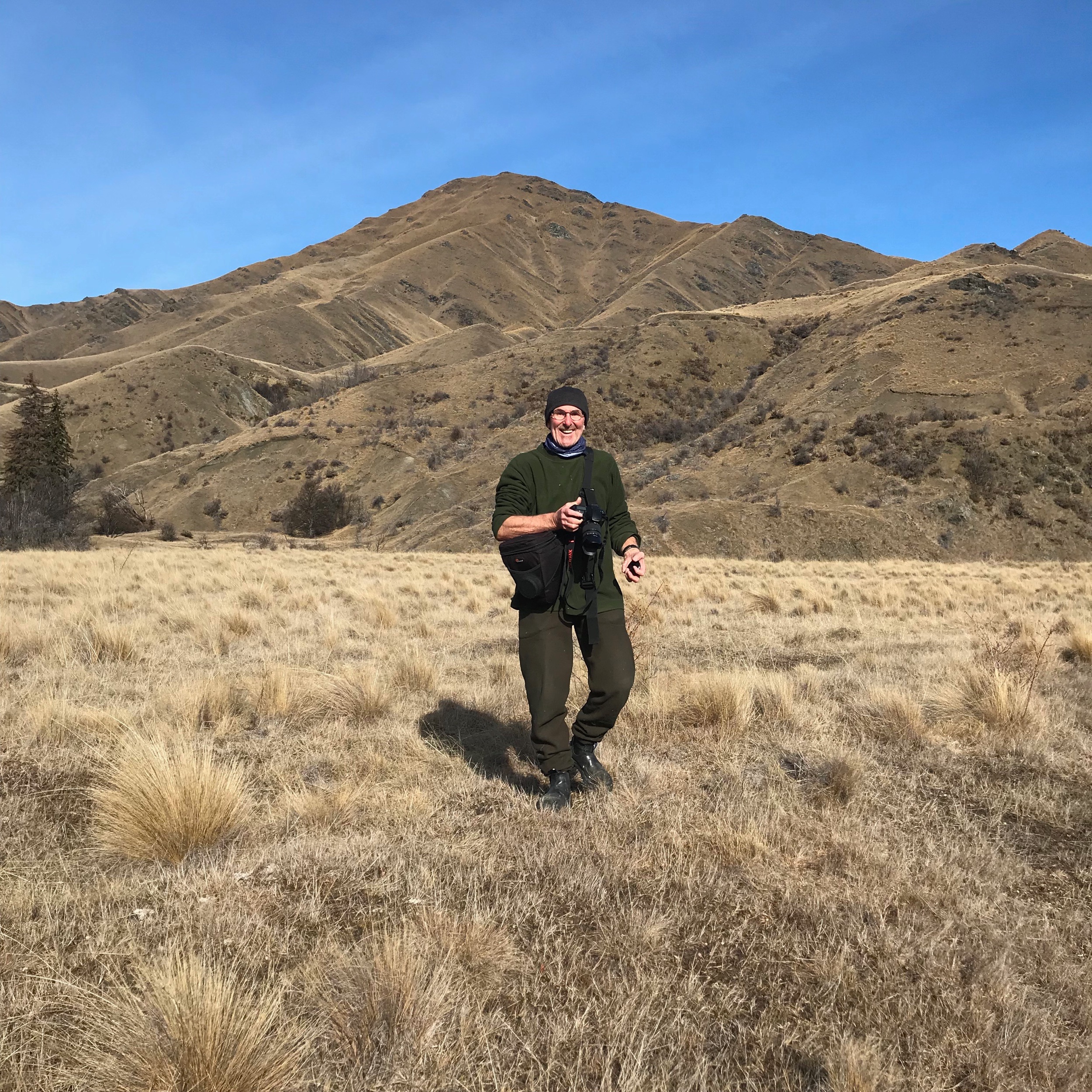
As we stand at the entrance to Macetown, the view ahead is dominated by the snow-capped mountains of the Southern Alps (3,724m) in the far distance and Advance Peak (1,749m) immediately ahead.
This is the view that framed the historic township of Macetown as it stood for nearly 50 years and it’s the view that Macetown’s residents would’ve taken in as they made their way to and from work or church or the post office, back when the township was humming and those buildings were still standing.
“To be honest, what’s left has been lucky to survive, what with Otago’s freezing winters, the stripping of materials that went on after the Second World War and the general vandalism you see these days,” says Stew, referring to the small handful of buildings and artefacts he’s helped restore.
It’s true. If these remnants from the past hadn’t been so carefully preserved and restored, all that would be left from that era in New Zealand’s colourful history would be tussock, speargrass, Matagouri and the occasional hare with black-tipped ears zig-zagging through the dry, brown countryside.
This story was first published in Heritage New Zealand magazine.